

Learning From Our Scottish Sister
In our last placemaking series, we talked about serendipitous placemaking – moving away from the redundant car towns struggling to retrofit the levels of facilities that we want in our ’20 minute neighbourhoods’, let alone to provide the integrated greenspaces or the feeling of living with nature that we crave.
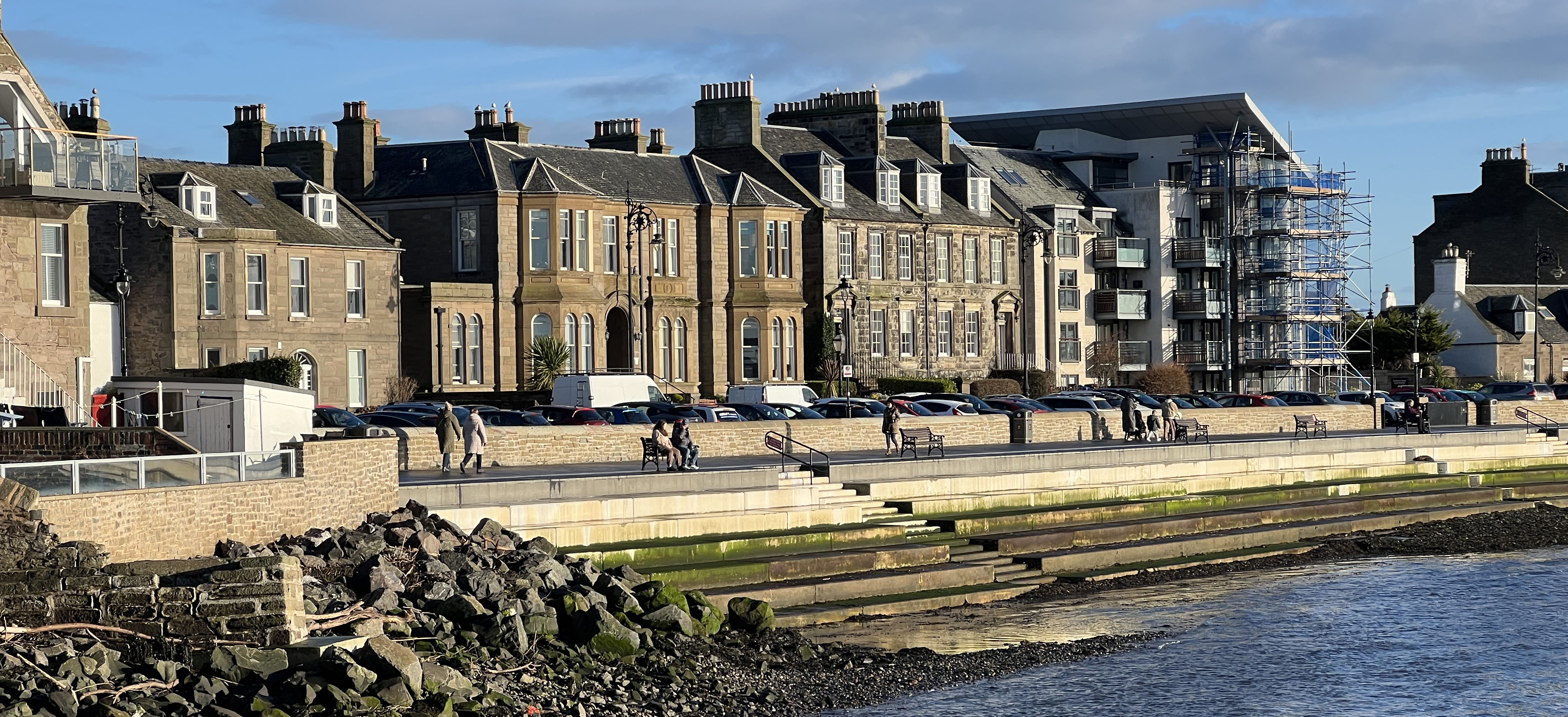
Today, as we celebrate Burn’s Night, we look to our sister Scotland for her take on placemaking for ’20 minute neighbourhoods’. We recently visited Broughty Ferry, a tour led by Urbanist Dr Husam AlWaer, from the University of Dundee, and we considered to what level can this former fishing village and now rural community of Dundee be considered a ’20 minute neighbourhood’?
We are custodians of place
edge believes in creating new places that are self-sufficient. Growing existing settlements often increases pressure on existing infrastructure such as education, health facilities and utilities. New settlements plan positively to provide on-Site infrastructure and thereby placing much less burden on existing infrastructure. They have a number of benefits, including ensuring that all key facilities that a community will need are provided in accessible neighbourhoods, and providing and enhancing active travel and public transport options.
If, at first glance, one might consider this beautiful suburb of Dundee to be an historic village that has grown organically over time from it’s fishing heritage, then we would be in complete agreement with Thomas Sharp’s, ‘The Anatomy of the Village’; where Sharp describes his attitudes to creating new places in 1946:
‘Any suggestion that new village building should imitate that old kind of building; any attempt to copy, in a new place which will be built in six months, the irregularities that occurred because of slow growth over a similar number of centuries; any hope to achieve, by planning, the exact effects which have resulted solely from a lack of planning; these would not only illustrate a sense of tradition gone morbid, they would also be doomed to failure from the beginning.”
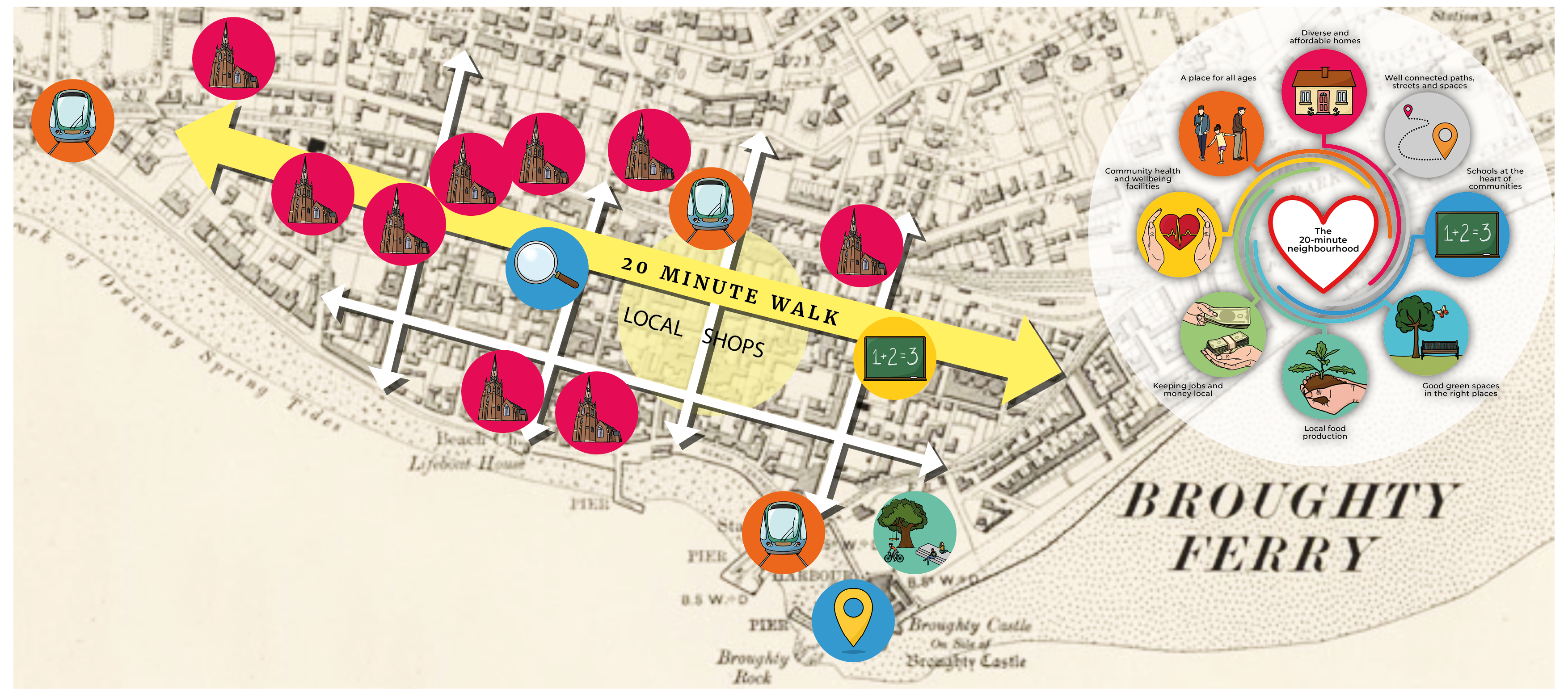
Whilst this is a traditional village, Broughty Ferry is in fact a planned town. Once a sleepy hamlet of fishing huts the settlement later developed due to the affluence of the 19th century jute barons of Dundee, as Broughty Ferry began to develop along ‘Charles Hunter of Burnside’s’ gridiron plan. The settlement’s original setting provides extended views and vistas down to the River Tay, up Reres Hill and along the streets such as Brook Street, King Street and the aptly named Long Lane.
The annotated map shows Broughty Ferry as it was planned on Hunter’s gridiron street pattern. As a planned town, the fundamental importance of its success is undeniably five-fold;

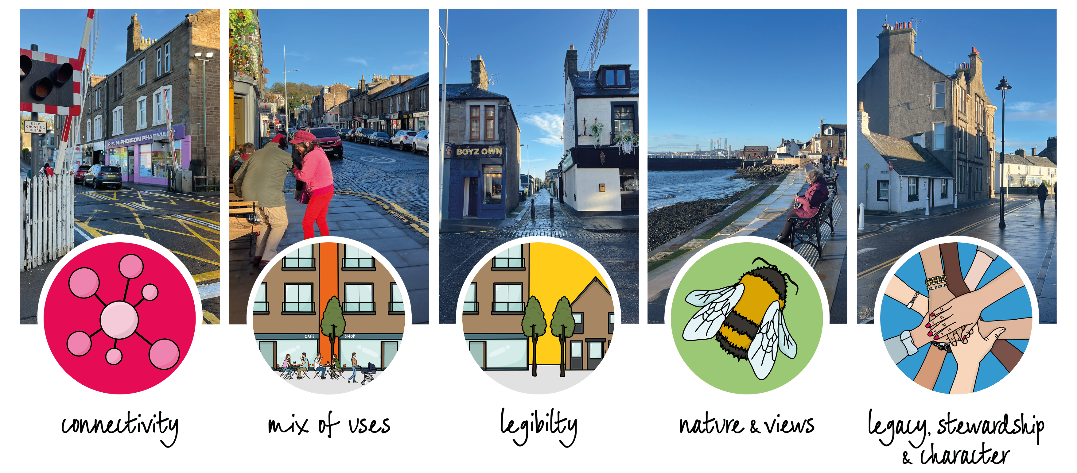
Connectivity
Broughty Ferry was planned with a railway station which connects it with Dundee and surrounding settlements, along the coastline. Whilst many railway stations create barriers to connectivity, what is so brilliant about the station here, is that it is at grade, it has a level crossing over the high street – Gray Street, and the station is truly integrated with the place. The railway station is so local that one would never consider getting in the car to drive there, it is a 1-2min walk from the greengrocers, the butchers, the Post Office and it sits at the heart of the community.
Mix of Uses
Broughty Ferry was planned with a huge number of mixed use facilities, even in it its planned inception. Today there is a network of thriving streets at the heart with vibrant local shopping facilities. It was planned with circa 10 churches, acting as community hubs. It was planned with three train station ‘stops’, civic buildings such as the Police Station, a local school and residential accommodation, all set around the existing castle and the Firth of the Tay.

Legibility
Broughty Ferry was planned by Hunter on a gridiron plan – there is a large influence of French urbanism in our Scottish cities, with many of the settlements on the Firth of Tay, adopting this grid structure. At Broughty Ferry, this creates very well-defined streets and spaces with a clear and legible network of routes, promoting active travel. Facilities and services sit on the corners of the grid patterns and are visible, and integrated, into the community.

Nature & Views
Broughty Ferry was planned on a peninsula of land that was effectively ‘left over’, a rural fishing hamlet and a castle on the Firth of Tay. The location naturally has a wonderful geography and views of nature in most directions. To the south there are almost 270 degree views of the Tay, with the coast line wrapping around the ‘peninsula’. To the north as the land rises are longer views of mature woodlands and rural communities. Combined with the gridiron structure, Broughty Ferry has views of nature, the changing seasons and sun patterns along all of it’s streets and axis’. This feeling of living in nature grounds us as humans, improving mental health and wellbeing and encouraging active travel.

Legacy, Stewardship & Character
Broughty Ferry was planned with legacy, with intent of stewardship by Hunter, his family had a long-term interest in the land and environs and this has ensured that Broughty Ferry has a real feeling of quality, cohesiveness and legacy to it. As a planned place, there is an extremely vibrant mix of tenures, architectural styles, characters and building heights and forms. Brought together, this really feels like the work of many hands and it creates an enduring community which is pulled together through its grass roots structure.
The magic of scale?
And so, combined with many other fantastic urban design features and the five backbones of great design that exist at Broughty Ferry, the reason that this place is a success is because of it’s scale. One can walk from one end of Broughty Ferry to the other in exactly 20mins. Making Broughty Ferry a true historic, yet planned, ’20-minute neighbourhood’.
Written by Hannah

